A photo of my cat
Last month I posted a picture of my cat on a Reddit forum. Nothing identifying in the frame — just Mochi on a windowsill, sunlight, a couple of plants. Within an hour, a DM landed in my inbox: “Hey, you live near the bakery on [street name], right? Cute cat.”
I had not typed my city, my street, or even my country anywhere on that account. I had not geotagged the post. The only thing I had uploaded was a 3 MB JPEG from my phone.
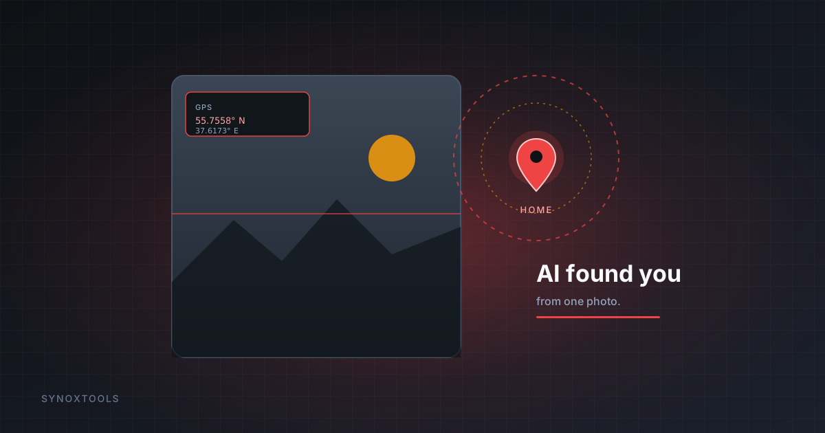
That JPEG carried my exact coordinates to within a few meters. And in 2026, turning those coordinates into a street name no longer requires a person staring at a map — an AI does it in under a second.
What's actually inside a phone photo
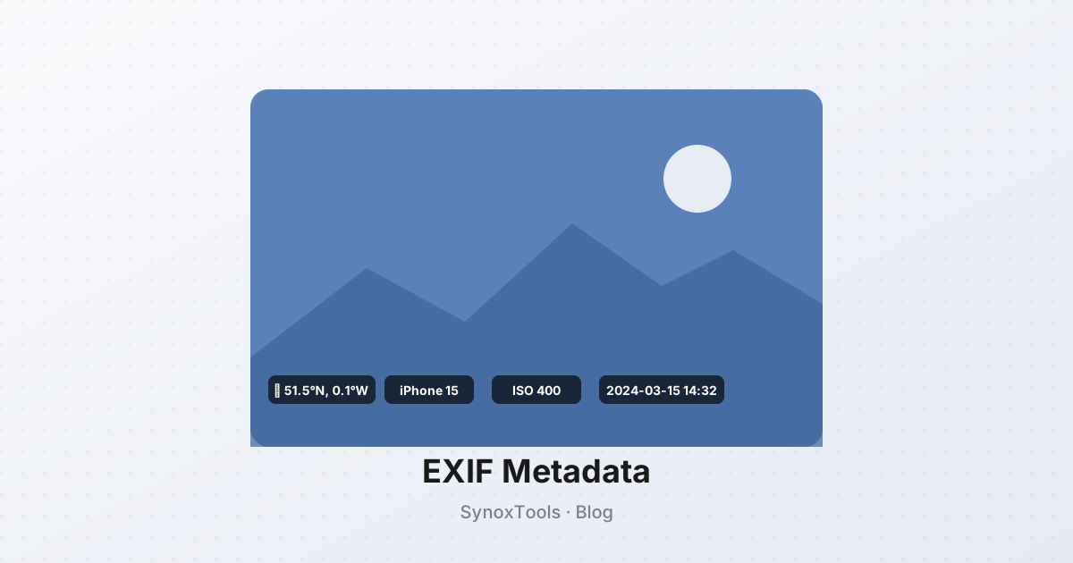
Every photo taken by a modern phone writes a small block of metadata into the file — the EXIF (Exchangeable Image File Format). Depending on your device and settings, it can include:
- GPS coordinates — latitude and longitude where the shot was taken, often accurate to within 5 meters
- Date and time — in the device's local timezone
- Device make and model — e.g. “Apple iPhone 15 Pro”
- Software versions — iOS version, camera app version
- Camera settings — ISO, shutter speed, aperture, focal length
- Lens serial number — uniquely identifies the physical device
- Orientation — how the sensor was rotated
The GPS field is the one that bit me. It exists because, when you grant your camera app location access, the phone stamps every photo with where you took it. Useful for sorting your own memories. Catastrophic when the photo leaves your phone.
Why 2026 changed the game
Two years ago, reading EXIF was a chore. You had to download the file, open it in a tool, and read the raw coordinates by hand. The threat was theoretical for most people — a journalist might care, a random Redditor would not.
In 2026, that friction is gone.
- Geo-guessing models can take a photo with no EXIF at all and guess the city from the architecture, the road markings, the species of tree, the angle of the sun. They already do this competitively, in seconds.
- Add EXIF GPS to that analysis and it's not a guess anymore — it's a confirmation. The AI points at a spot on the map; the metadata says “yes, exactly there.”
- Bulk tools now let someone drop a folder of 500 photos and get a map of every place that person has been in the last year. What used to take a forensic analyst a weekend now takes one prompt.
The punchline: the photo itself is often not the leak. The metadata is. And metadata is trivially easy to read — or to remove.
Which platforms strip it (and which don't)
There's good news and bad news.
The good news: most major social networks remove EXIF when you upload. Instagram, Facebook, Twitter/X, TikTok, and WhatsApp strip GPS before the photo goes public. So a photo posted directly to those is, in theory, safe.
The bad news:
- Telegram, Signal, and Discord often keep EXIF when you send a photo as a “file” or “document” rather than as a compressed image.
- Reddit strips EXIF on its own copies — but if you ever link out to an image host that doesn't, the original is exposed.
- Email attachments keep EXIF. Every photo you've ever mailed someone carries the spot it was taken.
- Cloud drives — Google Photos, iCloud — keep EXIF forever, for you. Fine for you. Fine for anyone who ever gets in.
- Screenshots you crop and re-share — if you re-save the original, the EXIF travels with it.
In my case, I had uploaded the photo to an image host and pasted the direct link into Reddit. The host didn't strip anything. The coordinates were sitting in the file, in the open, for anyone who cared to look. A stranger cared to look.
The 3-second fix
You don't need to stop sharing photos. You need to stop sharing the part of the file that tells people where you were.
- Open the photo in a tool that strips metadata. The SynoxTools EXIF Remover does this entirely in your browser — the photo never touches a server, which matters when the photo is, say, a scan of your ID.
- The tool redraws the image and re-encodes it as a clean JPEG. Canvas re-encoding physically cannot carry EXIF — the output is just pixels.
- Download. The new file looks identical to you. To the AI trying to geolocate you, it's a blank wall.
If you have a whole folder of old photos — a vacation, a wedding, a year of phone snaps — the batch version processes up to 500 at once and hands you back a ZIP.
A checklist before you post
- Strip GPS from any photo before uploading to forums, marketplaces, classifieds, or email.
- Send photos through Signal or Telegram as images, not as documents, unless you trust the recipient.
- Keep an eye on photos of kids — a stranger knowing the playground where a child spends every Saturday is a different threat tier than knowing where you had coffee.
- When in doubt, strip. It costs nothing and can't make you less safe.
Mochi is fine. I deleted that Reddit account, scrubbed the photo, and re-trained the habit of running every image through a stripper before it leaves my device. The stranger was, as far as I can tell, just showing off — a geo-guessing hobbyist, not a threat. Most are.
But “most are” is not a strategy. The metadata in your photos is a live map of your life, and in 2026, reading that map is a one-prompt task. Removing it is a one-click one.